
Low · LEO
Close to Earth, these orbits host stations, many Earth-observation satellites and some communication networks.
Watching Earth, connecting continents and exploring the Universe: discover satellites and their missions.
28 reference satellites
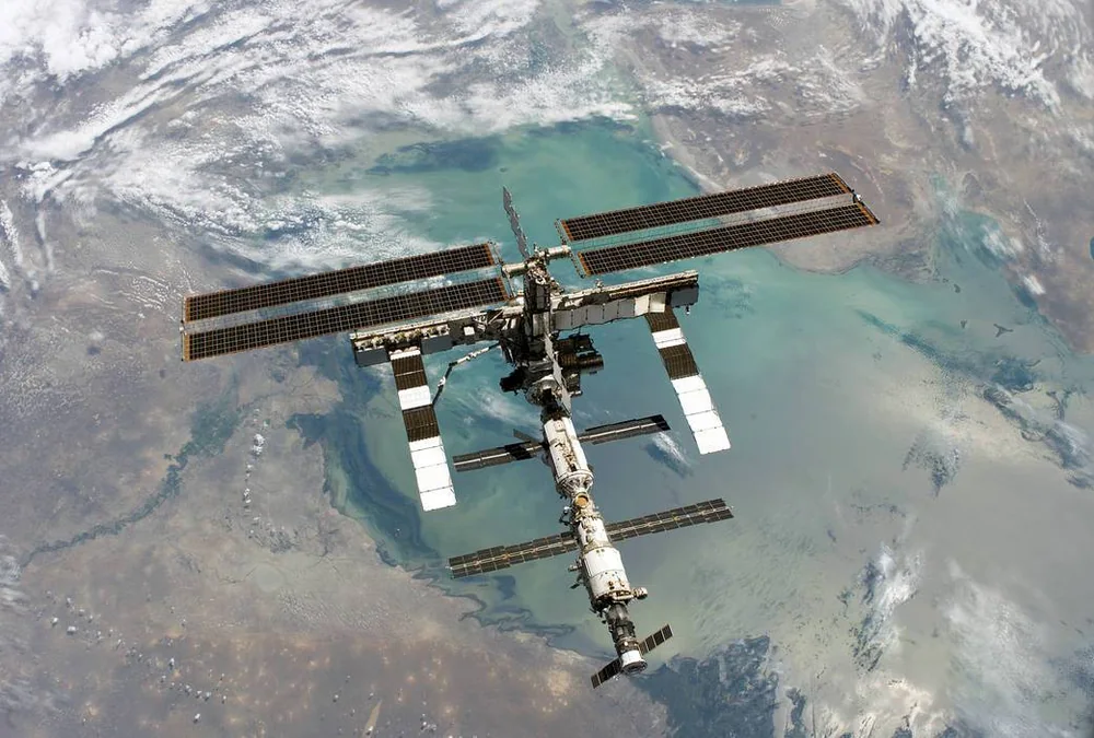
An initial documented selection of artificial Earth satellites, from pioneers to modern missions. Each record describes an identified satellite or station, not an entire constellation. This is not an inventory of every object in orbit.
The planetarium displays clickable satellite markers when recent orbital elements are available, within ±3 days of their epoch. An editorial entry does not guarantee a calculated position. Reentered satellites remain included for their history.
Close to Earth, these orbits host stations, many Earth-observation satellites and some communication networks.
Higher than low Earth orbits, this family is notably used for satellite navigation.
Around 35,786 km above the equator, a satellite follows Earth’s rotation and appears fixed in the sky.
A strongly elongated path used for some scientific observations. The distance from Earth varies greatly.
28 reference satellites
No satellite matches these criteria.
Orbital presence does not establish whether a satellite is operational. “Unverified” does not mean “still in orbit”. The orbit shown describes the mission orbit, not necessarily the present trajectory.
The first artificial Earth satellite. Its radio signals marked the beginning of the space age.
Current situation unverified
An early weather satellite. Its cameras demonstrated the value of cloud images from space.
Current situation unverified
An experimental geostationary communications satellite. It helped establish relay links fixed above the equator.
Current situation unverified
A commercial transatlantic communications satellite. It relayed telephone calls and television programmes.
Current situation unverified
Landsat 1 belongs to the land observation programme. Its images help study changes in landscapes.
Current situation unverified
Meteosat 1 represents a generation of European weather satellites. It observes Earth from geostationary orbit.
Current situation unverified
Landsat 5 belongs to the land observation programme. Its images help study changes in landscapes.
Current situation unverified
A Luxembourg broadcasting satellite. Its mission used the geostationary position at 19.2° East to distribute television and radio.
Current situation unverified
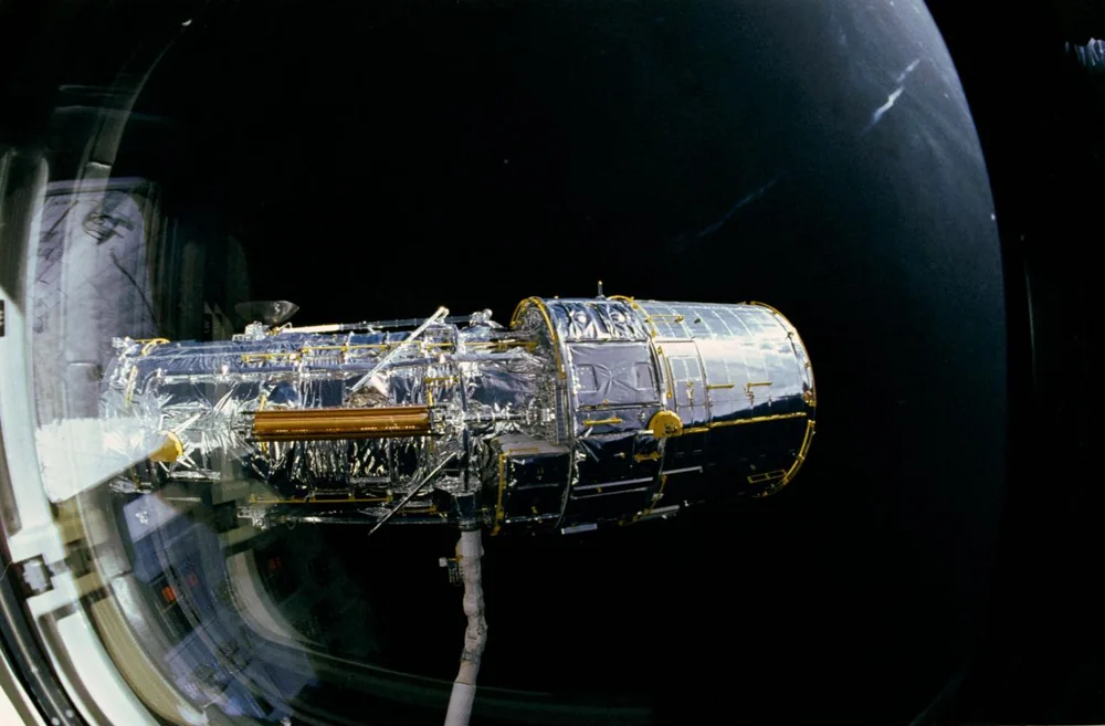
A space telescope launched aboard Discovery. It observes the Universe above most of Earth’s atmosphere.
Current situation unverified
The International Space Station was assembled in orbit. The date and identifiers refer to Zarya, its first module.
Current situation unverified
An X-ray space observatory. Its highly elliptical orbit enables long observations of energetic phenomena in the Universe.
Current situation unverified
A European X-ray observatory. It studies stars, galaxies and matter under extreme conditions.
Current situation unverified
A weather satellite in polar orbit. Its instruments measure clouds and atmospheric properties.
Current situation unverified
One of the first two Galileo in-orbit validation satellites. It supports testing of the European positioning system.
Current situation unverified
One of the first two Galileo in-orbit validation satellites. It supports testing of the European positioning system.
Current situation unverified
Landsat 8 belongs to the land observation programme. Its images help study changes in landscapes.
Current situation unverified
A Copernicus radar mission. It observes land and oceans through clouds, by day and night.
Current situation unverified
A Copernicus multispectral imaging satellite. It is designed to monitor vegetation, soils and inland waters.
Current situation unverified
Meteosat 11 represents a generation of European weather satellites. It observes Earth from geostationary orbit.
Current situation unverified
A Copernicus satellite dedicated to oceans and land. It measures surface temperature and colour, among other properties.
Current situation unverified
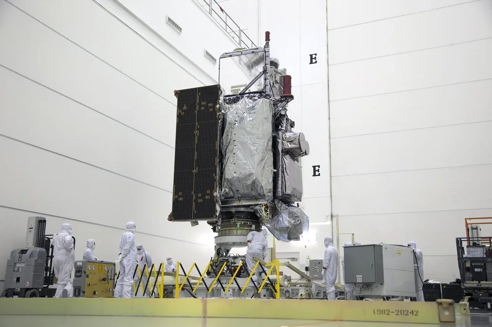
GOES 16 belongs to the GOES-R weather satellite series. A geostationary orbit enables regular observations of the same region.
Current situation unverified
GOES 17 belongs to the GOES-R weather satellite series. A geostationary orbit enables regular observations of the same region.
Current situation unverified
A Copernicus satellite dedicated to oceans and land. It measures surface temperature and colour, among other properties.
Current situation unverified
An international ocean altimetry mission. Its radar measures ocean surface height to track sea level.
Current situation unverified
Tianhe is the core module of China’s Tiangong station. The date and identifiers refer to this first module.
Current situation unverified
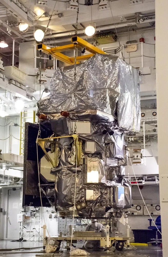
Landsat 9 belongs to the land observation programme. Its images help study changes in landscapes.
Current situation unverified
GOES 18 belongs to the GOES-R weather satellite series. A geostationary orbit enables regular observations of the same region.
Current situation unverified
Meteosat 12 represents a generation of European weather satellites. It observes Earth from geostationary orbit.
Current situation unverified
Dates and missions are documented by the agencies and operators linked in each record. Images are individually credited; photographs and artist’s concepts are distinguished and shown without cropping.
Documentation checked on 23 October 2026